 This week we went out to an old 1800s town called Paria. It was established next to the river but abandoned 40 years later due to flooding. I can imagine how bad the flooding must be. Recently we have only had a few days of rain and there water in the bottom of the river bed. Gordo enjoyed it immensely. As soon as he saw the water, he ran for it and pulled me almost into the water. He came out with very red muddy paws.

Have I mentioned that Wade loves his new GoPro camera? He has learned that he can now set it up on the hood of the Jimmy and control it with an app on his Iphone. He took so much video yesterday that he ran the battery dry! Check out a great video of a part of our trip on YouTube:
http://www.youtube.com/watch?v=a5YCgn26GII&feature=youtube_gdata
The cemetery was very interesting. There was this plaque and about 12 headstones that were not marked. I can't even imagine how hard these people had it here in Paria. This was a very hard life.
Gordo enjoying the river!
Such a pretty area with lots of red mountains and streams. We tried to cross the stream to get to the remains of the Paria townsite but we didn't want to get our feet wet early in the morning. I guess I need to invest in some hiking boots if were going to go out walking.

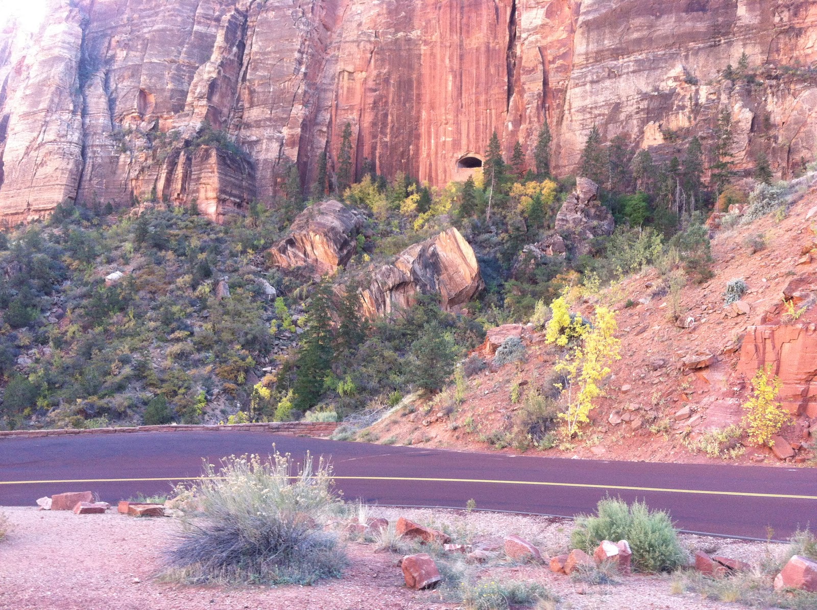
This and the next picture are where they filmed the movie "John Carter". I loved that movie and it was pretty cool to see how they created the look of another planet!

We did the 30 mile loop. It took us about 2 hours because we wanted to get out and hike a bit to some of the really cool sights!

Looks a bit like the surface of the moon.
L

We found this great hiking loop and took Gordo for a walk in the canyon. It was really cool to see the way the water washed out these areas.

Me and Gordo!

This was looking up from the bottom of that canyon.
It's hard to see but there is an arch in the rocks behind the sign. It is right over the "R" in the sign.
We took a detour trip through the Kodachrome Basin State Park. The park gets its name from some National Geographic photographers who happened upon the site in 1949 and named it after their film.
Lots of odd rock formations. Some are not fit for PG blogs!
This was the highlight of day! I love rock arches. This one made us hike 1.7 miles round trip to see. It was well worth it. The picture does not show the Indian petroglyphs at the top. Wade was none too happy to hike this far but he did it, all while holding Gordo's leash.
On the way out of the area...finally on asphalt!
COW!
The people that settled this area back in the 1800s were hardy people! Much stronger than we are today.
We sent Alyssa (our daughter) this picture of an antique motor home and told her that we were going to purchase it as a second home for her to travel with us around the country...she didn't text me back.....
Me and the Gordo on the way home. He was really tuckered out and we both kept falling asleep.
Our last day at work here in Kanab is Saturday, October 27th. We are going to stay here until 10/31 so we can pack and do a couple more trails. We will be in the Phoenix area on the first of November. I can't wait to spend some time with our Son Wade, who is in the Air Force, and see some of my friends from high school.


 You can barely see it but this road also ended in a barbed wire fence! Twice denied. We ended up back tracking and heading up to Route 12. We found a great book that gave us a scenic route through the back way to Bryce. It was a 56 mile/three hour loop where we saw some great pink cliffs and ended up in a place called Podunk!


